Tuamotus, Here We Come! – Friday May 10th

After spending nearly 3 weeks in the Marquesas, at 4pm today we departed the island of Ua-Pou and set a course for the Raroia atoll in the Tuamotus Archipelago.
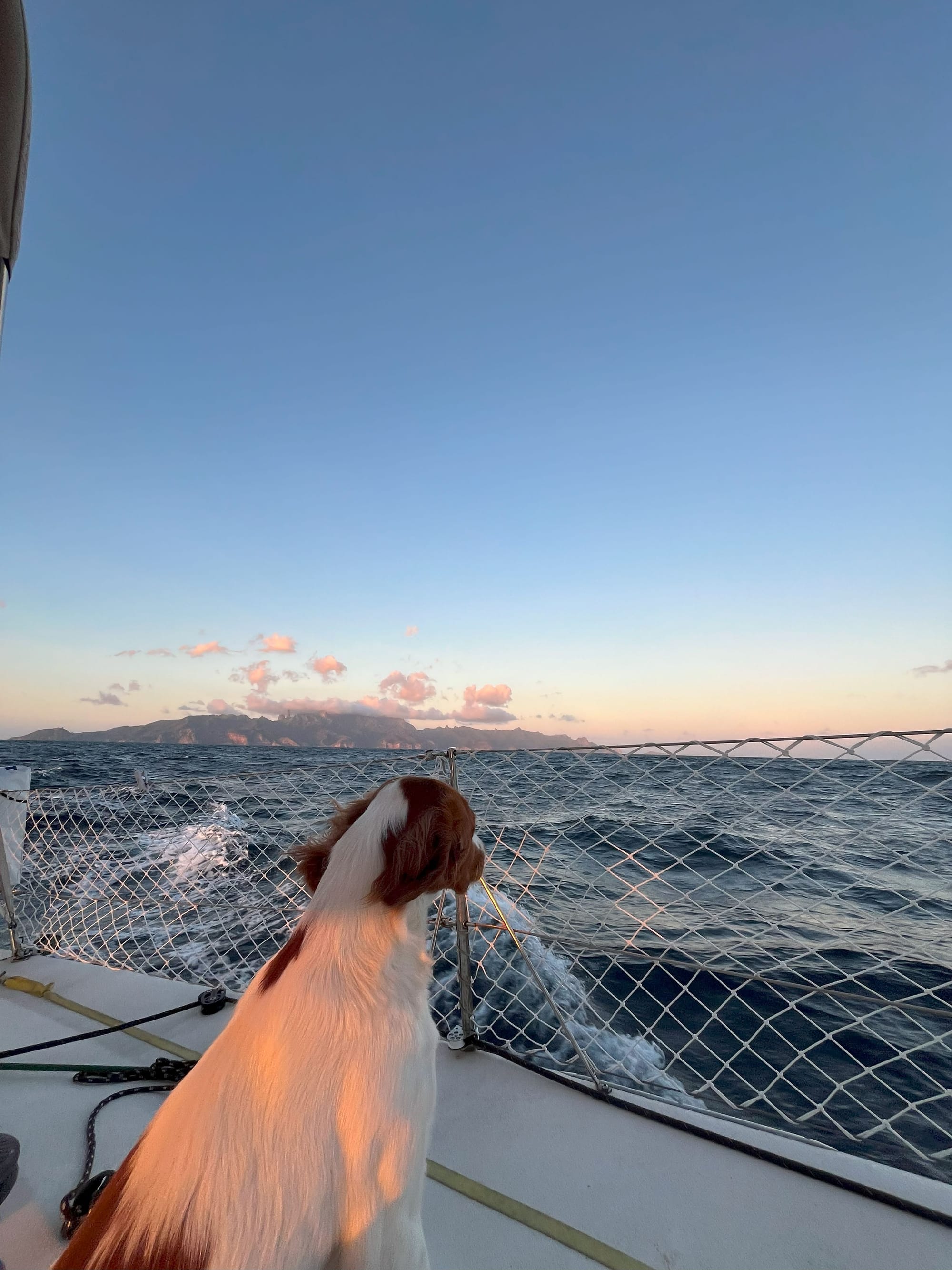
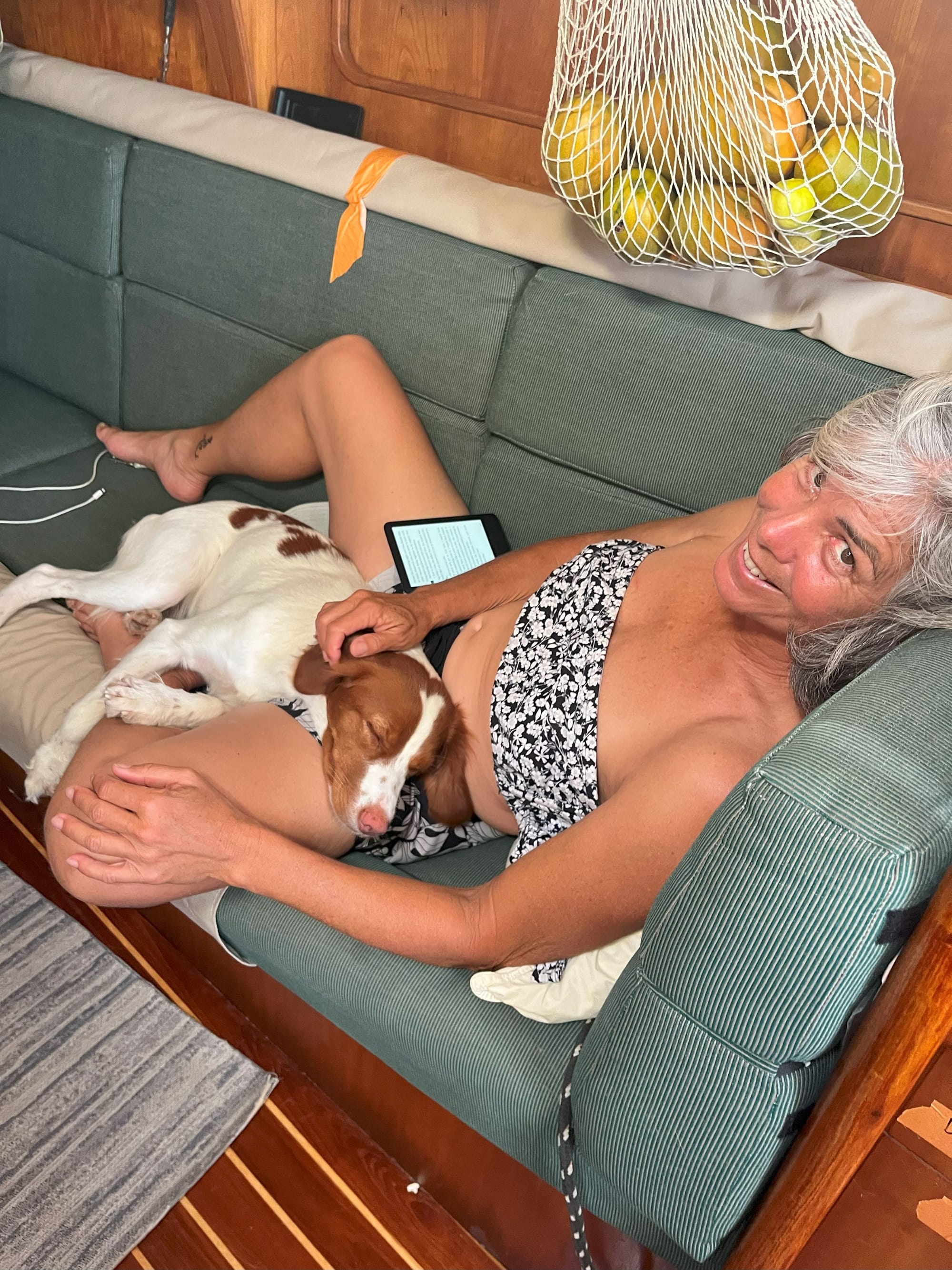
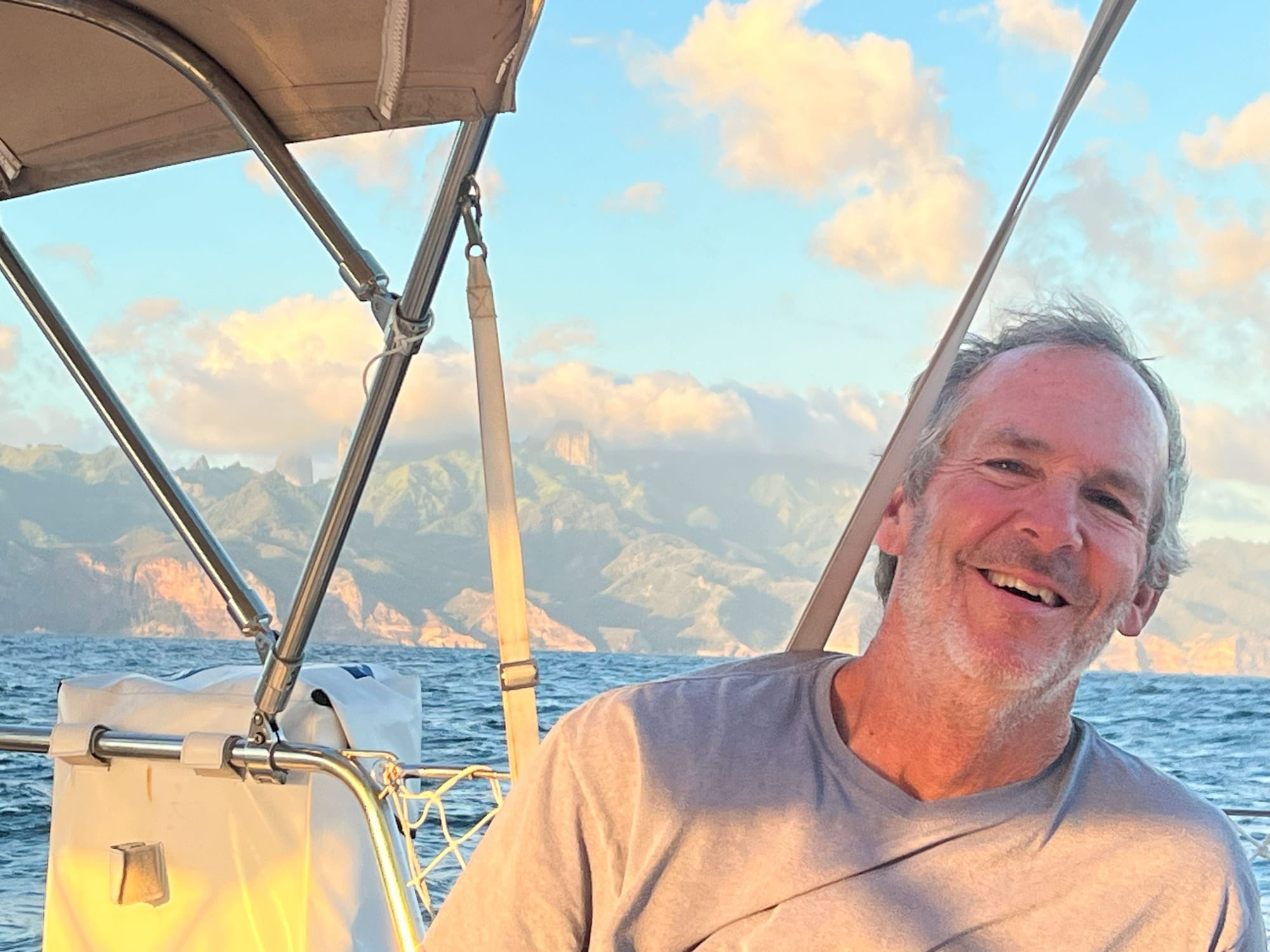
This is our first long passage with just the 3 of us on board, me, Danielle and Dawn (plus Catalina!) So its really a big moment for us to see how we do working together as a team while crossing a big chunk of ocean.
The passage is about 425 nautical miles and will take us about 2.5 days. We left late in the afternoon so we could arrive at Raroia in the morning on Monday the 13th. The timing of your arrival at an atoll is CRITICAL which I will explain later….
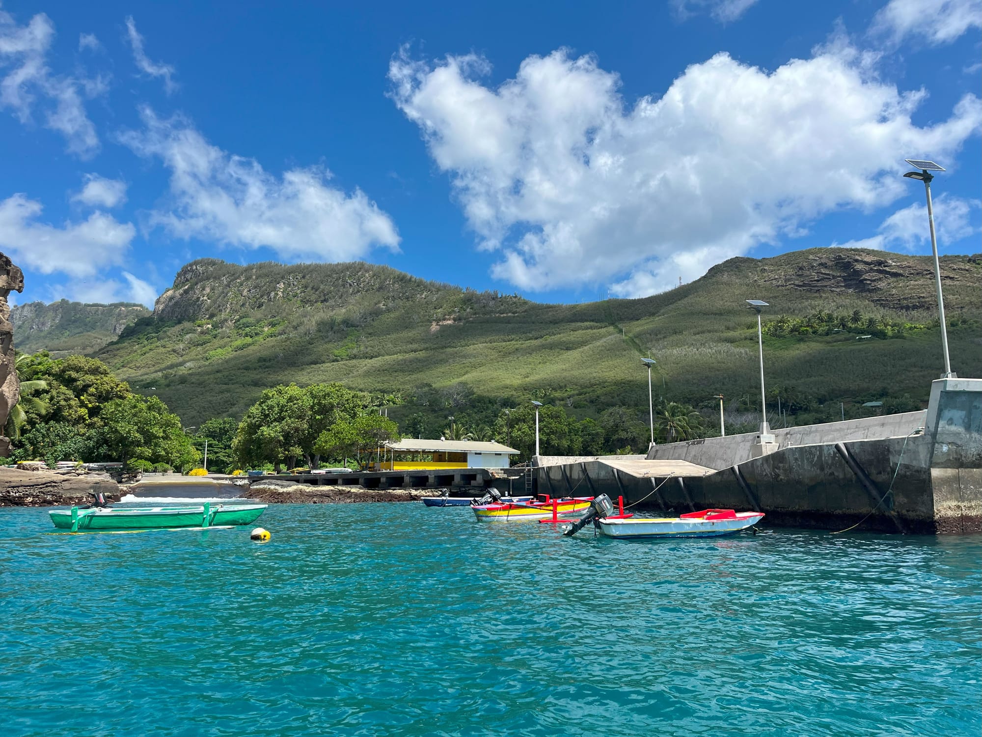
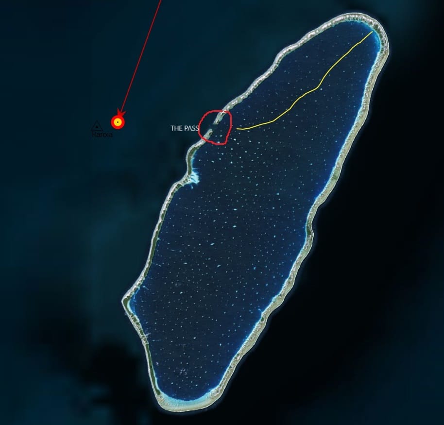
The Tuamotus is a group of hundreds of coral atolls that lay in between the Marquesas and Tahiti. An atoll is basically a coral reef that sits just above sea level. The atoll’s barrier reef tend to have an oval shape with a large lagoon in the middle. There is generally one opening in the coral reef that allows you to enter into the lagoon. Since the lagoon is pretty much protected all around from the Pacific swells, they tend to be calm without the constant rolling at anchor that we experienced at the Marquesas where there is no protecting coral reef to shield you from the massive Pacific swells.
The atolls are basically the tropical brochures that you see advertised. Crystal clear water, white sand beaches, and palm trees. There is a lot of sea life in the lagoon and even more in the passes into the lagoons. The Tuamotus are the REAL reason I have sailed over 3,000 miles to get here. So I am REALY excited to experience this slice of paradise.
BUT…navigating these atolls is very difficult and several boats get wrecked on the reefs every season. I think two have been wrecked so far this year. Why? There are a number of reasons why the atolls are difficult to navigate.
First, this is a very remote part of the world and not many people live here, so the atolls are not well charted. Many times, the charts are just flat out wrong, showing an island where there is none, or no island where there is one. So to supplement our charts we download Googe and Bing satellite images which tend to be more accurate, but not always. Sometimes the satellite images are not clear or they are blocked by cloud cover. And they don’t show water depth, but you can sort of guess it based on the color of water. We are SO grateful for the cruisers who have gone before that have spend HOURS compiling satellite images and putting them together so we can easily download them and view them on our computer.
Second, the pass into the atoll can be very difficult to traverse. The atolls have a very large lagoon, and with the tidal changes all that water is either rushing out of the lagoon (ebb) or rushing into the lagoon (flood). This can create currents that at times can exceed 10 miles per hour. You basically can’t enter when there is that much current. You can also get standing waves. A standing wave is a wave that does not really move, it stands in one place. They are big and steep. This is caused when the wind blows against the current. The current is going one way, and the wind is pushing the water back in the opposite direction. The two opposing forces cause the standing wave.
The trick to getting through a pass is to do it at slack water, in between tidal changes, so there is very little water moving in or out of the pass. Normally you would just check your local tide tables, but of course in this remote part of the world the tide tables either don’t exist or they are not very accurate. Plus there are other factors that determine how much water is moving through the pass, such as the size of the waves striking the reef and the strength of the wind blowing on the water. Yes, its complicated!
A lot of times, the best strategy to navigating a pass is to just get in close and see what the water is doing, or get intel from local fisherman or other yachts that have gone through the pass.
Third. The Bommies. No, not Zombies, Bommies. Both are scary though! Getting through the pass is not the end of your challenges. You then must navigate around hundreds of bommies. What is a bommie? Its and Australian name for a coral head. Inside the lagoon coral grows and can form small to large coal heads that lurk just below the water, like tiny little islands. There are SO MANY bommies there is no way you could chart them all. You can see many of them on the satellite images, but not all of them. Fortunately the bommies are easy to see IF you have the right light. Generally you wan the sun overhead or behind you so that it is not glaring on the water and blocking you view. We also have a couple other tools on hand to help us navigate the bommies. Again, other cruiser shave gone before us, and they record their GPS track and they share it. So I can then load it into my computer and just follow the path they took. We also have a piece of electronics on board that helps us “see” what is ahead of us. Its called Forward Scan, and it is a sonar system that actually looks in FRONT of the boat so I can see under the water what is there. I hope it works well!
So this slice of paradise does not come easy. But we are going to take it slow and cautiously. Fortuanely there are several boats just in front of us that we are communication with on WhatsApp there are telling us what to expect and how to best navigate the pass. So we have a lot of help on our side!
I will keep you all posted on how this voyage goes and I will also be posting lots of pictures!